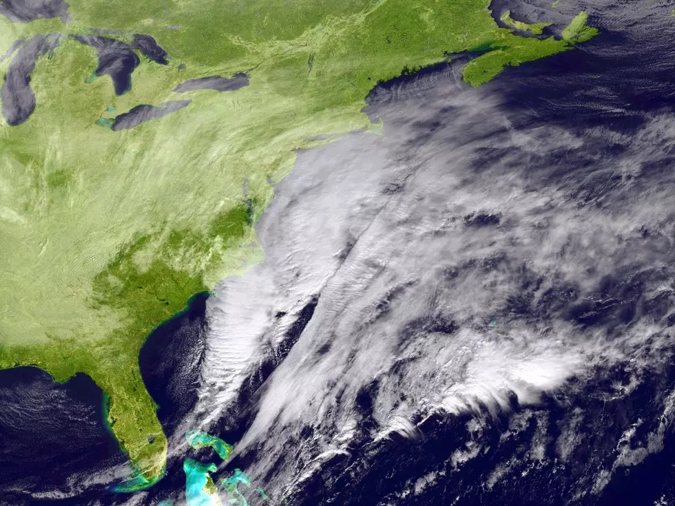
Updated Forecast For Potential Hudson Valley Nor’easter
Local forecasters are giving an update on the potential weekend Nor'easter.
One local forecaster says there's been a lot of "alarming language" circulating online about this weekend's potential nor'easter.
Nor'easter Update: Here's What The Latest Forecast Actually Shows For The Hudson Valley
According to First Due Weather from The Compound, a coastal storm is developing, and it deserves our attention. Here's what the latest guidance shows as of 8 p.m. Tuesday.
The National Weather Service in New York says models generally agree on a coastal low tracking southeast of our region Friday into Saturday, but differences remain on exactly how close the center gets and whether it lingers near the coast into Sunday.
For all the news that the Hudson Valley is sharing, make sure to follow Hudson Valley Post on Facebook, and download the Hudson Valley Post Mobile App
The latest guidance has actually shifted slightly eastward, not westward, which is good news for the Hudson Valley. Because of the latest guidance, the National Weather Service is currently stating that flooding from rainfall is not likely, and there are no concerns at this point for high wind warnings inland. Coastal wind advisories could eventually become necessary, but that depends on how the system evolves.

The greatest concerns right now are along the coast, including coastal flooding, dangerous rip currents, building surf, beach flooding, and erosion. Those coastal impacts remain the highest-confidence part of this forecast.
Latest Model For The Hudson Valley
For the Hudson Valley, here's the current picture based on the European model's Tuesday evening run.
Rain could begin moving into the area Saturday morning, roughly between 8 and 11 a.m., spreading from east to west, with periods of rain and showers potentially continuing into Sunday.
Rainfall rates of 0.5 inches are possible. Some model solutions produce locally intense rainfall rates approaching 1 to 1.5 inches per hour Saturday night into early Sunday morning, but forecasters are clear that this represents a worst-case scenario, not what's expected for everyone.

On the wind side, the European model currently shows sustained north winds around 10 to 25 mph from Saturday afternoon into early Sunday, with gusts potentially approaching 40 mph.
A modest shift in the storm's track in either direction changes those numbers considerably.
Hudson Valley Post will continue updating this forecast as confidence increases heading into the weekend.
These New York Counties Deal With More Snow Than Most Of America
The Dates When New York State Typically Sees Its 1st Snowstorm
More From Hudson Valley Post