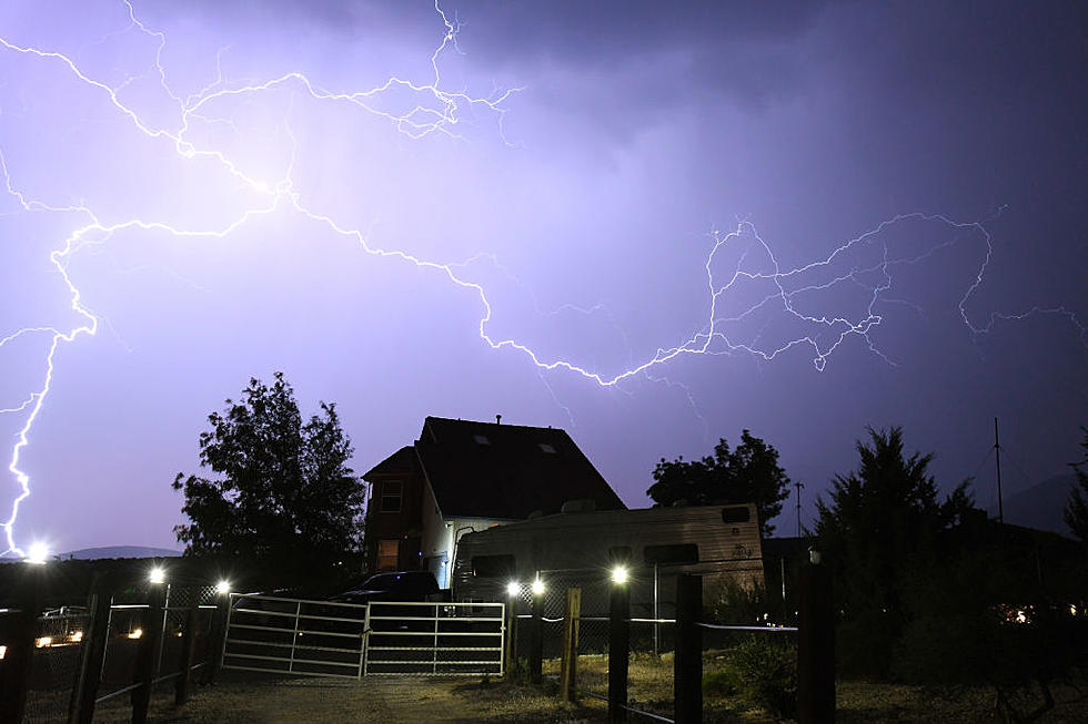
Thunderstorms in the Forecast Monday Afternoon
The storms aren't through with us quite yet. We are looking at the possibility of more thunderstorms and rain coming through the Hudson Valley later Monday afternoon and evening due to a cold front that is doing it's best to push out the warm temperatures we enjoyed over the weekend. Today and tonight the National Weather Service has posted a Hazardous Weather Outlook.
The storms that are likely for this afternoon and this evening could be severe. There is a possibility that we could contain damaging winds and hail with the approaching weather. The counties affected in the Hudson Valley are Greene, Columbia, Ulster and Dutchess.
Here is the forecast from the National Weather Service for the next few days in the Poughkeepsie area.
Today
A slight chance of showers, then a chance of showers and thunderstorms after 1pm. Some of the storms could produce gusty winds. Partly sunny, with a high near 83. Southwest wind 10 to 14 mph. Chance of precipitation is 50%. New rainfall amounts of less than a tenth of an inch, except higher amounts possible in thunderstorms.
Tonight
A slight chance of showers before 9pm. Partly cloudy, with a low around 52. Northwest wind around 9 mph. Chance of precipitation is 20%.
Tuesday
Sunny, with a high near 67. Northwest wind 14 to 18 mph, with gusts as high as 30 mph.
Tuesday Night
Mostly clear, with a low around 50. Northwest wind 6 to 11 mph.
More From Hudson Valley Post