Slow-Moving Nor’easter Could Bring Days Of Rain In New York
The nor'easter forecast is getting clearer this morning, and Hudson Valley residents should prepare for a messy several days.
The forecast for this weekend's nor'easter is coming into sharper focus Friday morning, and Hudson Valley residents should plan for three days of rain and gusty winds.
Two trusted local weather sources are now in broad agreement that this is going to be a multi-day event.
Nor'easter Update: Three Days Of Rain And Gusty Winds Now Expected For The Hudson Valley

Meteorologist Ben Noll says rain and gusty winds will arrive late Friday or early Saturday. The worst of the storm hits late Saturday into early Sunday, and the system doesn't fully clear until Tuesday.
For all the news that the Hudson Valley is sharing, make sure to follow Hudson Valley Post on Facebook, and download the Hudson Valley Post Mobile App
Storm total rainfall could reach up to 3 inches, Noll says. Wind gusts of 30 to 40 mph are expected.
Three straight days of unsettled weather is not a minor inconvenience. The slow movement of this storm is exactly why forecasters have been paying close attention to it all week.
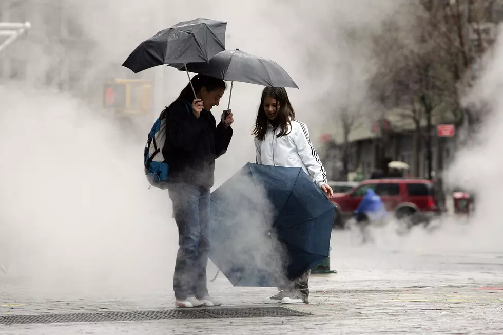
Hudson Valley Weather reports that this nor'easter's biggest threat isn't its peak intensity but how long it sticks around.
A slow-moving or stalling system that keeps pushing northeast winds and rain into the region for two to three days can cause downed branches and isolated power outages. Especially because trees are still in full leaf
Hudson Valley Weather predicts that the chance of rain will increase Friday night, spreading from east to west, with the area east of the Hudson River carrying the higher probability for meaningful rainfall first.
Saturday is currently the day with the greatest potential for impacts, though both the European and American models keep the first half of Saturday relatively dry before conditions deteriorate heading into Saturday night and Sunday morning.
Worst On The Coast
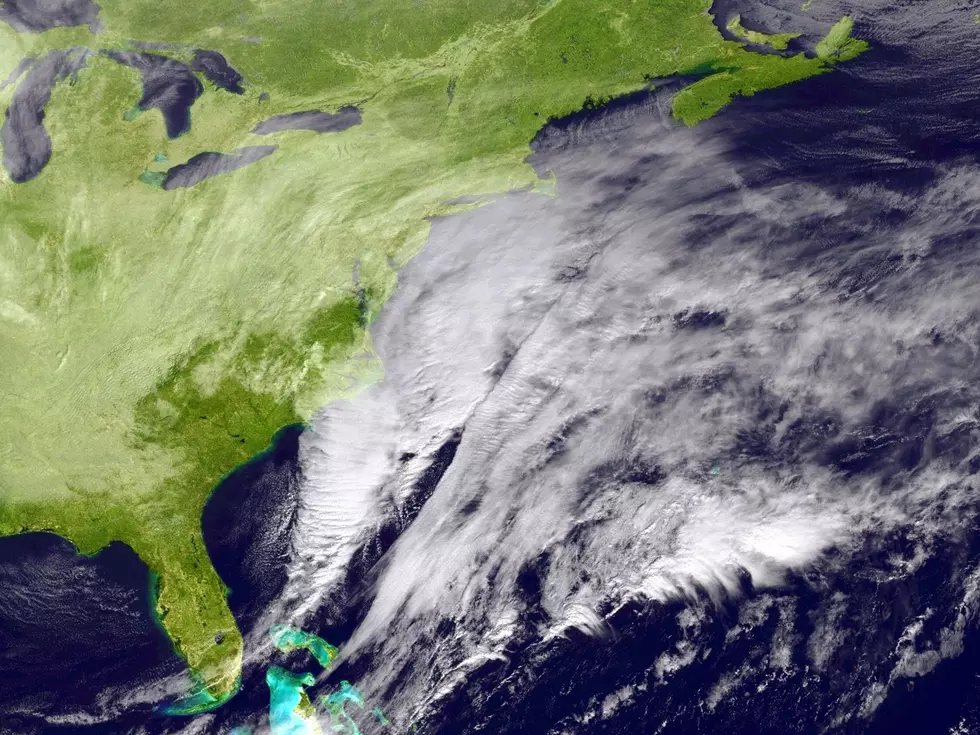
The coast will continue to take the brunt of this storm. A full moon Saturday means tides will already be running elevated heading into the event, raising concerns for coastal flooding, dangerous surf, beach erosion, and rip currents from Long Island through southern New England.
Some coastal locations could experience those conditions through multiple high tide cycles if the storm stalls as currently expected.

Noll noted that this storm may be a sign of much more unsettled weather to come as fall and winter approach, which tracks with NOAA's overall seasonal outlook.
The Most Extreme Temperatures in the History of Every State
LOOK: The most extreme temperatures in the history of every state
Gallery Credit: Anuradha Varanasi
The 50 Most Expensive Weather Disasters in Recent Decades
LOOK: The most expensive weather and climate disasters in recent decades
Gallery Credit: KATELYN LEBOFF
25 costliest hurricanes of all time
More From Hudson Valley Post