Dangerous Snowstorm Could Drop 17 Inches Across Hudson Valley
A dangerous post-Christmas snowstorm is about to crush the Hudson Valley. We've got the final forecast and updated timing of the storm.
Forecasters say some areas could see up to 17 inches of snow, with travel becoming nearly impossible Friday night.
Hudson Valley Braces For Dangerous Post-Christmas Snowstorm

The National Weather Service has issued winter storm warnings and advisories across the Hudson Valley, warning that travel Friday night could become dangerous to impossible. Whiteout conditions are possible during peak snowfall, especially during the evening hours.
For all the news that the Hudson Valley is sharing, make sure to follow Hudson Valley Post on Facebook, and download the Hudson Valley Post Mobile App
Arctic air has fully locked in across the Hudson Valley, and forecasters now agree the region is about to take a direct hit from a powerful post-Christmas snowstorm.
Hudson Valley Weather's final forecast closely aligns with projections from First Due Weather at The Compound in Orange County, with both teams warning that conditions could deteriorate rapidly on Friday evening.
Updated Timing

The timing of the storm is now clear. Snow is expected to begin developing between 3 p.m. and 6 p.m. Friday, spreading from northwest to southeast across the region.
Conditions will get worse very quickly, with the heaviest snow falling between 6 p.m. and midnight, when snowfall rates could reach 1 to 2.5 inches per hour.
"At times, snowfall rates of 2 to 3 inches per hour are possible before midnight," Hudson Valley Weather warns.

Snow will gradually taper off between 4 a.m. and 8 a.m. Saturday, though lingering snow showers are possible.
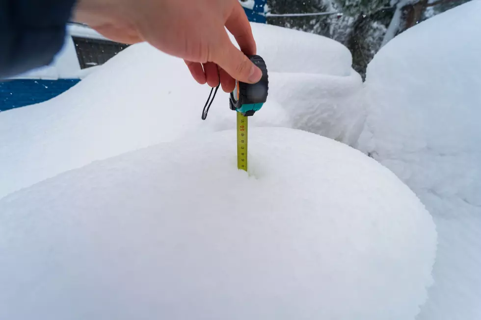
Final Snowfall Predictions, Up To 17 Inches Of Snow!
Temperatures will remain locked in the low to mid 20s, which will allow snow to fall light and fluffy. This will help the snow pile up very fast.

First Due Weather’s analysis of high-resolution ensemble data shows widespread snowfall totals of 6 to 12 inches, with high-end amounts of 12 to 15 inches possible.
In the most extreme scenarios, isolated locations could see as much as 16 to 17 inches of snow, particularly across eastern and northern Orange County and points north, where intense deformation banding may develop.

Hudson Valley Weather says the majority of the Hudson Valley will get 6 to 10 inches of snow.
But, banding of snow will cause higher snow totals of up to 8 to 14 inches in parts of the Mid-Hudson Valley and Upper Hudson Valley.
Ban: These Baby Names Are No Longer Legal In New York
Forecasters warn that while Saturday conditions will slowly improve, untreated roads may remain icy well into the day.
Keep Reading:
These New York Counties Deal With More Snow Than Most Of America
The Dates When New York State Typically Sees Its 1st Snowstorm
Most Dangerous Regions To Drive In New York State
More From Hudson Valley Post