Timeline For Fast-Moving, ‘Dangerous’ Hudson Valley Snowstorm
A fast-moving snowstorm is barreling toward the Hudson Valley and is expected to produce "impossible" driving conditions.
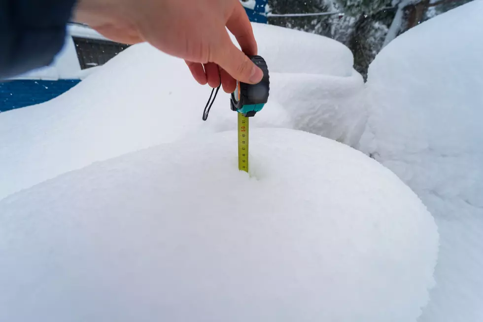
The National Weather Service has now issued a Winter Storm Warning for the entire Hudson Valley region. We've been keeping our eyes on this increasingly strengthening storm system that now looks like it has the potential to dump up to a foot of snow in just several hours.
Timeline for Snow in New York State This Week
The first flakes of snow will most likely begin to fall after midnight on early Tuesday morning throughout most of New York State and the Hudson Valley. Precipitation will begin as snow showers and then develop into heavy snowfall by 4am.
According to the National Weather Service, bands of snow are expected to generate up to two inches of snow an hour through the morning commute on Tuesday, making travel dangerous, if not impossible.

Luckily, it's a fast-moving snowstorm that is expected to exit the Hudson Valley just after noon.
Snowfall Totals For New York State, Hudson Valley
Much of the Hudson Valley area is expected to see from six inches to a foot of snow. The exact locations of the heaviest snow will depend on where the heaviest bands of snow line up. Early indications show from four to eight inches of snow in the Poughkeepsie and Newburgh area with over 8 inches of snow in western Orange County and Ulster.
However, all areas in Dutchess, Orange, Ulster, Sullivan, Putnam, Rockland Greene, Columbia and Westchester counties have the potential to see upwards of one foot of snow depending on where this fast-moving snowstorm makes its path.

Snow Closings Expected Throughout New York's Hudson Valley
It's expected that most schools will begin to announce snow closures on Monday, as this storm has no signs of weakening before hitting the Hudson Valley region after midnight. For the latest, up-to-date snow closings, delays and traffic information, be sure to download our free mobile app and turn weather and traffic alerts on.

Here's a look at snowfall totals expected throughout the entire state.
New York Local Snowfall Estimates For Tuesday, February 13, 2024
Gallery Credit: Matty Jeff
Biggest snowfalls recorded in New York history
Gallery Credit: Stacker
More From Hudson Valley Post