WEEKEND WEATHER: Seasonably Mild, Chance For Showers
The first heatwave of the season has come and gone, and now as we head into the weekend, the Hudson Valley should expect more seasonable temperatures for this time of year. Gone, for now, are the 90 degree days, high humidity. and thunderstorms. But should the Hudson Valley expect more rainfall across the area by this weekend?
Friday will be pleasant, with sunny skies and highs in the upper 70s. Clouds will increase overnight, as lows will fall to the mid to upper 50s. Saturday will see mostly cloudy skies, and highs in the low 70s during the day. Forecasters says there will be a chance for showers off and on through the afternoon, though nothing significant. Lows Saturday night will be in the upper 50s.
Sunday will see mostly sunny skies once again, with highs climbing again into the upper 70s. This should start the week, as highs will remain the upper 70s, and with lows in the upper 50s. The Weather Channel says there could be a chance for some afternoon thunderstorms by Monday, though nothing as heavy as what we saw earlier this week. TWC says that temperatures should begin to steadily climb into the 80s as we proceed towards the end of the next week.
Now, if go by some of the long-range summer forecasts expected for the Hudson Valley, then don't get too used to the milder temps. The National Weather Service's long-range forecast says the Northeast could see much hotter weather with above average rainfall the next several months ahead. AccuWeather also predicts hotter than average temperatures and many storms this summer. Several rounds of severe weather could be a possibility, especially early this summer.
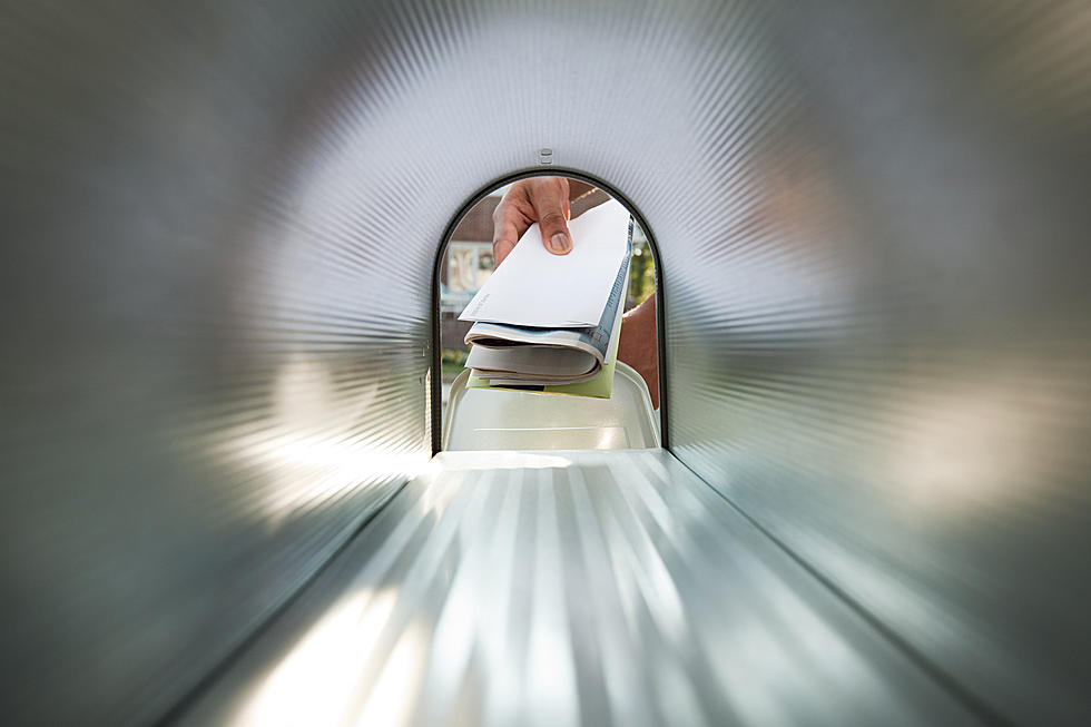
TIPS: Here's how you can prepare for power outages
More From Hudson Valley Post