The Hudson Valley Might See a Stormy and Hot Memorial Day
After a couple of days of mild weather, things will start to change as we head towards the long weekend. A cold front will push through the Hudson Valley late Friday, bringing the chance for thunderstorms across the area. NBC says there is a chance for severe weather Friday, including flash flooding and even tornadoes. Once the rain has moved out, we can then expect things to heat up towards the end of the holiday weekend.
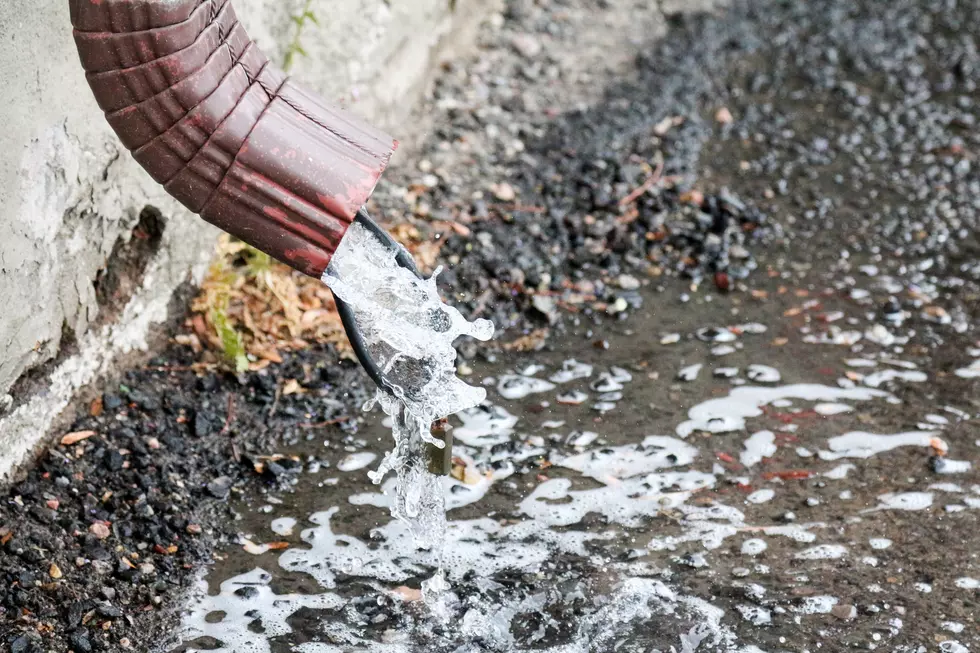
Strong Storms and Flash Flooding?
Skies will be cloudy Friday, with the chance for rain and thunderstorms by later afternoon. The primary risk for severe weather in the Hudson Valley and Catskills is flash flooding, with the heaviest rains expected in areas of Sullivan and Orange counties. The absolute worst of the weather should stay towards Jersey and Pennsylvania, according to NBC, though there is always a chance for scattered severe storms in the Hudson Valley as well.
TWC says that Saturday will remain mostly cloudy with the chance for scattered showers and thunderstorms. Highs will be in the mid to upper 70s, and lows in the 60s. Sunday will see dryer conditions, with highs around 80 under partly cloudy skies.

Heatwave?
Then, it going to get hot. TWC is calling for temps on Memorial Day Monday to climb into the upper 80s, near 90. This could bring the Hudson Valley its first heatwave. Tuesday will be even hotter with highs in the 90s, and Wednesday close to 90. But if anyone is complaining, do you remember last year's Memorial Day weekend? It was rather chilly and dreary.
What's the Hottest Temperature Ever Recorded in New York?
It got really hot. Read HERE.
Can the Weather Affect Your Health?
KEEP READING: Get answers to 51 of the most frequently asked weather questions...
More From Hudson Valley Post