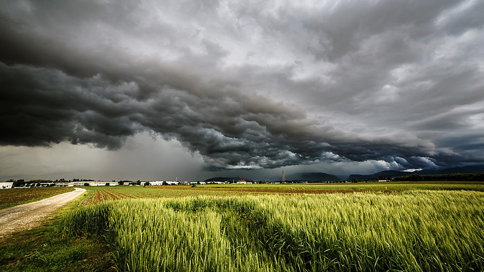
Severe Weather ‘Roller Coaster’ Could Bring Tornadoes to the Hudson Valley
The weather can't seem to make up its mind around the Hudson Valley this week. We went from summer-like temperatures over the weekend, to much cooler weather by Monday morning. Now, forecasters say the heat and humidity will build again by mid-week, bringing the threat for a round of severe weather as a cold front pushes east.
AccuWeather describes the weather this week in the Northeast as like a "roller coaster", as warmer temperatures will return by Wednesday. As the front approaches, the chance for thunderstorms will increase by late afternoon and into early evening. Meteorologists at AccuWeather even say that some of the storms will "carry the risk of isolated tornadoes, as well as hail, high winds and frequent lightning strikes in parts of eastern New York state". The amount of heat and humidity across the area earlier in the day will determine how strong the storms may get by later, as both factors work to destabilize the atmosphere.
This scenario is somewhat similar to about a month ago, when severe thunderstorms brought torrential rain, damaging winds, hail, and even two confirmed tornadoes to the area after some forecasts had simply called for a chance of isolated showers and thunderstorms in the afternoon, And while the severe weather seemed to sneak up on residents out of nowhere, it goes to show that forecasts can frequently change very quickly this time of year. Location also can be a huge factor, as parts of the area could experience bad weather, while other areas do not.
Once the storms roll through, expect the weather to cool off, especially by Friday, as highs won't even make it out of the 60s. But some forecasters from AccuWeather say that frequent severe thunderstorms could be the case this summer across the Hudson Valley. The storms could lead the way for intense heat to build across the region by later in the summer, according to AccuWeather's summer outlook.
KEEP READING: What to do after a tornado strikes
TIPS: Here's how you can prepare for power outages
More From Hudson Valley Post

