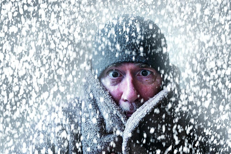
WEATHER: How Cold Will it Get in the Hudson Valley This Week?
If you wanted the cold, you got it. After freezing rain and sleet fell across many parts of the area Sunday morning, the season's coldest weather we've seen so far set in soon after. Wind chills Monday will make it feel like it's in the 10s. And forecasters say it will get even colder by Monday night and Tuesday. Winter is certainly here. However, one good thing is that it's expected to stay dry for the week ahead, so there shouldn't be any real snow potential.
Highs Monday will stay in the upper 20s, with partly cloudy skies and gusty winds during the day. Bundle up, for lows overnight will fall into the single digits, with wind chills below zero. Tuesday will be the week's coldest day, with highs only reaching the mid-10s in the afternoon. Lows will once again fall to around 5 to 10 degrees Tuesday night.
Wednesday and Thursday will see a slight warm-up, with highs in the low 30s, and lows in the 20s. Temperatures will plunge again though as we head into Friday, as highs will stay in the 20s during the day. Lows are expected to fall into the single digits again by Friday night. The weekend should remain cold with highs Saturday in the 10s, and in the 30s by Sunday. According to The Weather Channel, Sunday will bring the next best chance for precipitation with scattered snow showers possible by afternoon.
TWC says that could be a better chance for snow as we enter next week, though that still remains up to ten days away and forecasts could change by then.
LOOK: The most expensive weather and climate disasters in recent decades
Gallery Credit: KATELYN LEBOFF
KEEP READING: Get answers to 51 of the most frequently asked weather questions...
TIPS: Here's how you can prepare for power outages
More From Hudson Valley Post


